Explaining the alternatives for UAV navigation
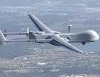
ArticlesUAVs use a number of navigation systems to fly a path to an assigned area. The generated coordinates are also used to geo-locate the UAV position and its imagery, making it a very important part of the Unmanned Aircraft System (UAS).
Please note: That all fields marked with an asterisk (*) are required.